
Geofences and alerts: what they are and how to use them well
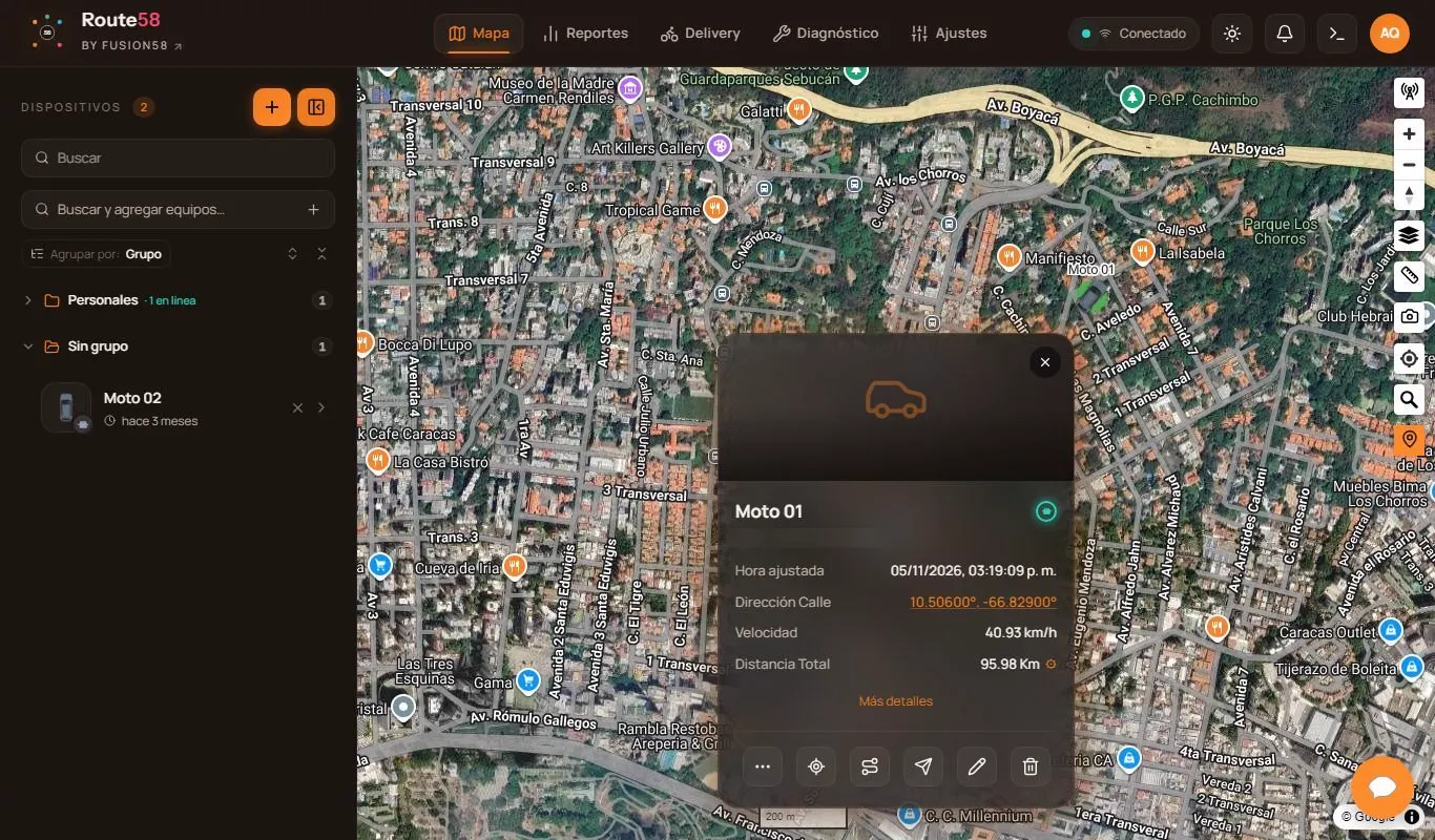
A geofence is a zone you draw on the map. When a vehicle, a person or an asset enters or leaves that zone, the platform notifies you.
What they are for
- Customers and destinations: know what time a unit reached a customer or a warehouse.
- Operating zones: an alert if a vehicle leaves the area where it should work.
- Restricted or risky zones: an alert if it enters a place that should be avoided.
- Schedules: alerts that only apply outside working hours.
- Time on site: how long a unit takes at each stop.
How to avoid false alarms
- Draw the zone with a margin: the device's position is not perfect and can "jump" a few meters.
- Ask for a minimum stay before alerting, so it does not warn for just brushing past.
- Choose who receives each alert: if everything reaches everyone, nobody pays attention.
- Start with a few important alerts and add more over time.
Beyond the alert
Geofences become very valuable when they feed reports: time on site, visits per day, punctuality. And when connected to other tools, they can trigger automatic actions, such as telling a customer that their order is about to arrive.
Want to apply this in your operation? Tell us what you need and we reply within one business day.
Let's talk about your operation →